
Land Surveying Company
Accurate Site Data for Construction Projects
Get a Free Quote From Us Today!
We aim to get back to you in 24 hours.
At Land Surveying Company, we specialise in delivering professional land surveying services tailored for construction and development projects across the UK. Our experienced team captures precise data on site features, levels, boundaries, and existing conditions to support planning, design, and construction. We are dedicated to providing reliable and detailed surveys to ensure your project’s success.
Contact us today to discuss how our services can meet your surveying needs.
Who Is Land Surveying Company?
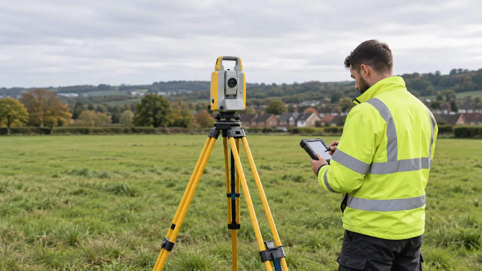
At Land Surveying Company, we are a team of dedicated professionals providing land surveying services for projects nationwide. We use advanced equipment such as Total Stations, GPS rovers, and 3D laser scanners to gather accurate data on terrain features, boundaries, and elevations.
Our team is skilled in various methodologies, including topographic surveys, boundary surveys, and construction staking, ensuring precise results. We adhere to RICS standards to guarantee the reliability of our work, which is vital for civil engineering projects, land development, and urban planning.
Our commitment to detail allows us to provide comprehensive surveys that facilitate effective planning and construction. We work with a range of clients, from commercial developers and government agencies to individual homeowners, assisting them in achieving their project goals.
Contact us to discuss how our surveying services can benefit your next project.
What Services Does the company Land Surveying Company Provide?
We provide a range of land surveying services to meet various project needs, employing precise methodologies and equipment to ensure accuracy and reliability.
- Topographic Surveying: We map the contours and features of land surfaces for planning and design purposes. This service supports architects and planners by providing detailed terrain data, using GPS and total station equipment for centimetre-level accuracy.
- Boundary Surveys: Our boundary surveys determine property lines and identify any encroachments or easements, crucial for resolving boundary disputes and ensuring compliance with local regulations.
- Construction Layout: Setting out markers and guiding construction work with precise measurements is essential for construction projects. We employ laser scanning and theodolites to ensure each phase adheres to the blueprint specifications.
- As-Built Surveys: We document the final locations of structures and utilities as constructed. This service provides an essential record for future modifications and maintenance, verifying that projects have been completed to design specifications.
Our services are tailored to the unique needs of commercial developers, residential property owners, and public sector projects. Contact us today to discuss how we can assist with your surveying requirements.
When Is Land Surveying Needed?
Land surveying is essential at various stages of construction and development. For instance, when preparing to erect new structures, a topographic survey can reveal elevation features critical for drainage systems and flood prevention.
If you’re subdividing a property, a cadastral survey is required to formally record the new boundaries to comply with local council regulations. During construction, engineering surveys are important to ensure the correct alignment and levels of structures, reducing risks of costly errors or adjustments.
For projects near existing structures, as-built surveys verify that the construction conforms to approved plans and specifications. Additionally, in rural areas, agricultural surveys can help in establishing precise land use plans to optimise planting strategies.
Understanding when each survey is needed helps to streamline your project and adhere to both local and national standards. Contact us to book a survey tailored to your project’s timeline.
Get a Free No Obligation Quotation Today
How Does Land Surveying Company Work?
We follow a systematic process to ensure precise survey results, combining the latest technologies with industry standards.
- Initial Consultation: We discuss your requirements to tailor our services to your project. This involves understanding specific needs, site conditions, and project scope.
- Site Visit: Our surveyors visit the location to gather accurate data using the latest tools, such as total stations and GPS receivers. We adhere to national accuracy standards to ensure data reliability.
- Data Analysis: Process and analyse the collected data using specialised software like AutoCAD and GIS tools to produce detailed topographic maps and boundary surveys.
- Reporting: Deliver comprehensive and easy-to-understand survey documentation, including 3D models and layouts as needed, to suit architects and developers.
We provide essential insights for your planning and development, helping both commercial and residential projects meet regulatory requirements. Contact us to schedule your consultation.
Who Does Land Surveying Company Help?
At Land Surveying Company, we assist a diverse range of clients including architects, engineers, developers, and property owners. Our services are tailored to support commercial, residential, and public sector projects.
We conduct boundary surveys for property owners to define property lines accurately, and our topographic surveys aid engineers and architects in understanding land elevations and features. Our utility surveys identify underground services using ground-penetrating radar, essential for construction planning and avoiding costly disruptions.
For developers, we offer site surveys that comply with RICS standards, facilitating informed decisions on land use. Additionally, our as-built surveys verify that construction works conform to design specifications, minimising legal and structural risks.
We provide the precise data needed for effective planning, design, and construction across the UK. If you’re planning a project, contact us today to ensure your development starts with a solid foundation.
How Quickly Can Land Surveying Company Respond?
We aim to accommodate your project timelines with a typical response and scheduling time of one to two weeks, depending on project complexity and location. For projects requiring boundary surveys, we ensure accurate demarcation using total stations and GPS technology.
Large-scale topographical surveys may need more time, as they involve additional data collection and analysis. We adhere to RICS standards to maintain consistency and accuracy across all projects, ensuring reliable results for both residential and commercial clients.
Our team strives to provide efficient and timely service to keep your project on track. For urgent needs, we offer expedited services, subject to availability, to help meet tight deadlines.
Contact us to schedule a consultation and discuss your specific timing needs.
How Does Land Surveying Company Ensure Quality and Compliance?
We ensure our surveying work adheres to industry standards and regulations, incorporating modern technologies such as LiDAR and GPS for precise measurements. Our surveyors are trained in the latest methodologies and use high-precision total stations and theodolites to ensure data accuracy across diverse projects, from residential property developments to large-scale infrastructure work.
We maintain rigorous quality control processes, conducting regular audits and inspections throughout the surveying process, to uphold our commitment to meeting RICS (Royal Institution of Chartered Surveyors) and ISO (International Organization for Standardization) standards. Our team is proficient in software applications like AutoCAD and ArcGIS, which we use for data analysis and mapping, ensuring confidence in the results we provide.
Contact us to learn more about our surveying solutions.
Request a free quote
Why Choose Land Surveying Company?
Choosing us for your land surveying needs provides several benefits:
- Expertise: Our team consists of skilled surveyors holding professional certifications such as the RICS (Royal Institution of Chartered Surveyors) accreditation, ensuring we adhere to the highest industry standards.
- Accuracy: We use the latest technology, such as robotic total stations and GNSS (Global Navigation Satellite Systems) equipment, to achieve precise data collection and analysis for projects of any scale.
- Comprehensive Services: We offer a wide range of services, including topographic surveys, boundary surveys, and construction staking, which are customised to meet the specific requirements of residential, commercial, and industrial projects.
- Reliability: We deliver consistent, quality surveys that comply with regulations such as the UK Geospatial Commission standards, ensuring your project’s success from inception to completion.
By choosing us, you benefit from a team that prioritises precision, compliance, and efficiency. Contact us to explore how our services can support your next project.
Frequently Asked Questions
What equipment do your surveyors use?
Our surveyors use equipment such as total stations, GPS units, and UAVs to capture precise site data.
Can you survey large and complex sites?
Yes, we have the capability to survey sites of varying sizes and complexities, adjusting our methods as needed.
Are your surveys compliant with RICS standards?
Our surveys are conducted in line with RICS and other relevant industry standards, ensuring reliable and compliant results.
How soon can I receive my survey results?
Clients typically receive detailed survey results within one to two weeks after the site visit.
What areas do you service?
We provide land surveying services across the UK, catering to diverse project needs in various locations.
Get a Free Quote
Contact us today for a land surveying solution tailored to your project’s needs.
speak with our team today
What People are Saying About Us
★★★★★
“Land Surveying Company produced a clear, accurate boundary and levels drawing on time. Our architect could work from it straight away on the development.”
Marcus Greenwood
London
★★★★★
“Land Surveying Company were easy to deal with and quick on site. The drawing came back neat and tidy, just what we asked for.”
Rhys Merrick
London
★★★★★
“The surveyors from Land Surveying Company came well prepared, and their plan showed every level and boundary clearly for our designer. I would gladly use them again.”
Sophie Osei
London
★★★★★
“Very happy with the land survey from Land Surveying Company. Would recommend them to anyone without hesitation.”
Rebecca Hargreaves
London
Our Locations
We are proud to work nationally across the UK, allowing us to ensure we can provide services to you.
For a full list of counties we cover in the UK, see below.